
Arasjahka to Sorjushytte
Distance: 35km
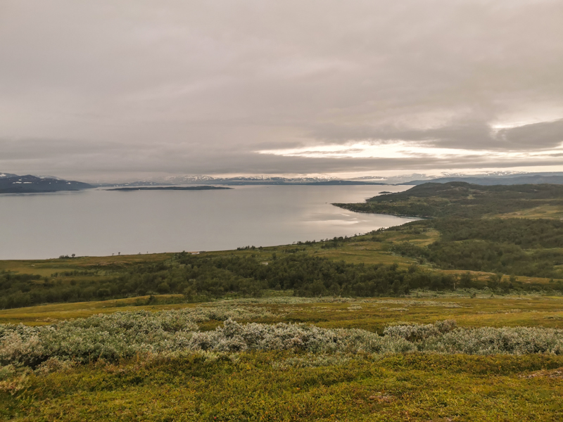
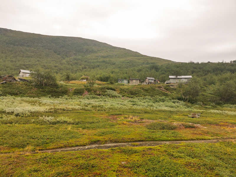
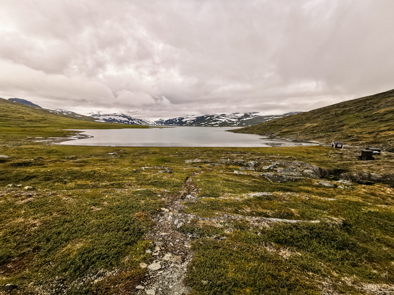
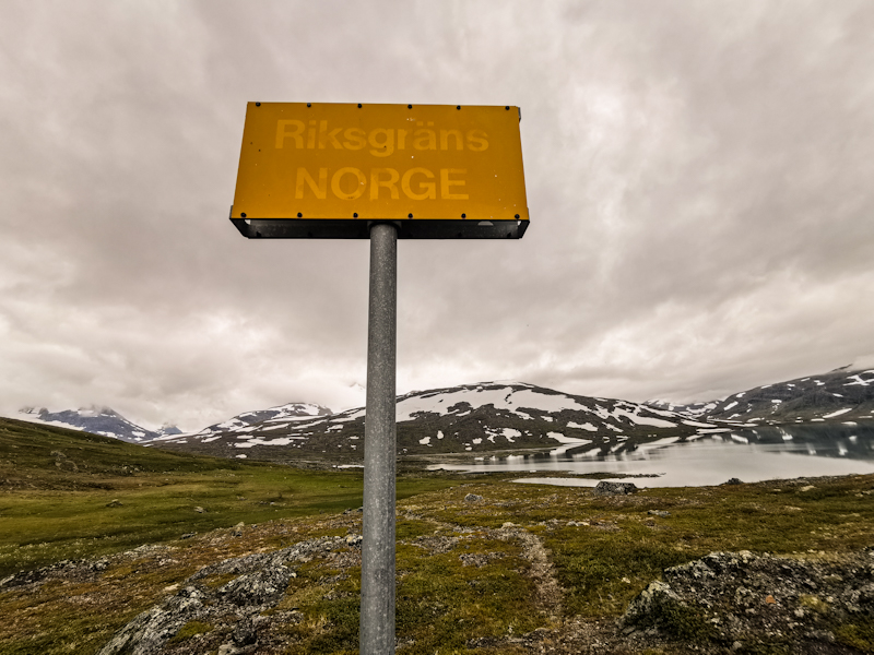
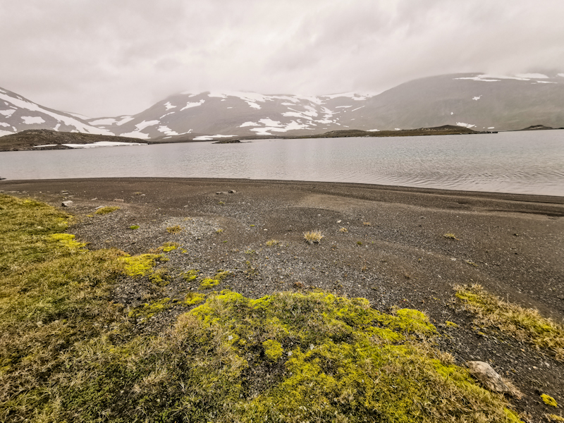
With the days getting shorter rapidly (roughly 30 minutes every day), I currently start my days more or less with sunrise. Today, the rising sun paints the mountain tops in a blood red. The spectacle only last for a blink of a second before clouds moving in front of the sun end it abruptly. These clouds bring rain shortly after. It doesn't last long luckily. At Staloluoktastugorna I leave Padjelantaleden - a hiking trail leading through Padjelanta National Park - after following it for the last 40 kilometers. Initially still a good trail, it gets fainter and rockier as I approach the border. At Sarasjaurestugan, I have wonderful chat with the hut warden. I am intrigued by the fact that he has been here since mid-July. Nonstop. No signal, no shower, basically no contact to the rest of the world. If I recall correctly, he hosted 13 guests only during the last five weeks. Corona...
Somehow it's something I would love to do once in my life. Disconnect from the hustle and bustle.
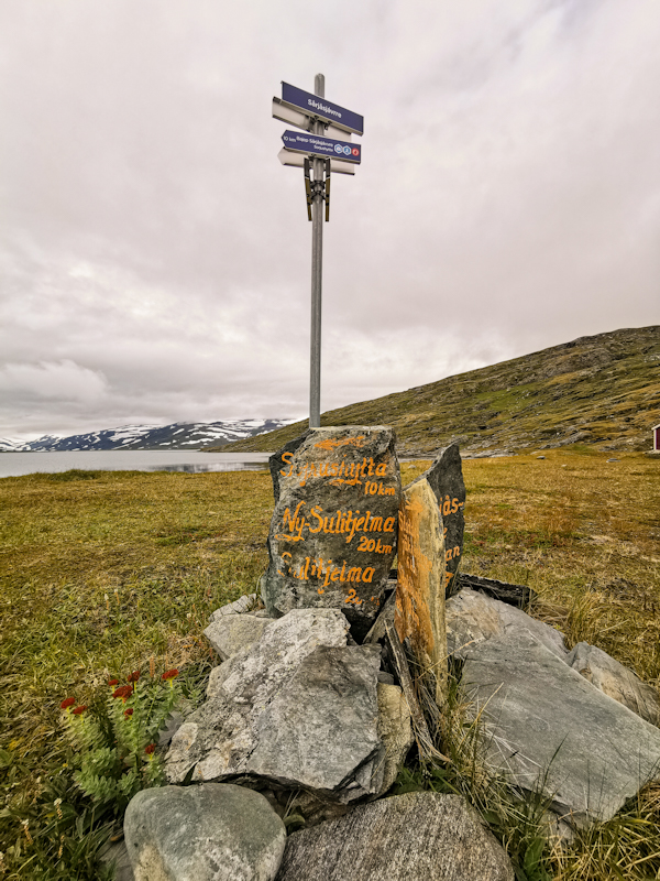
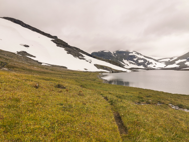
After an hour I continue my hike. Another 10 kilometers Sorjushytte. Another border crossing. Another broken bridge. Slowly it's getting ridiculous. This is not what I expect from a country like Norway. Anyway, I am more worried about all the snow ahead of me. Snowfields, which I have to pass tomorrow. And from experience I know, a snowfield at the wrong place can ruin a day. The tricky section is not long though. 10 kilometers. Then I will reach the road taking me down to Sulitjelma. I hope right in time for a late lunch.
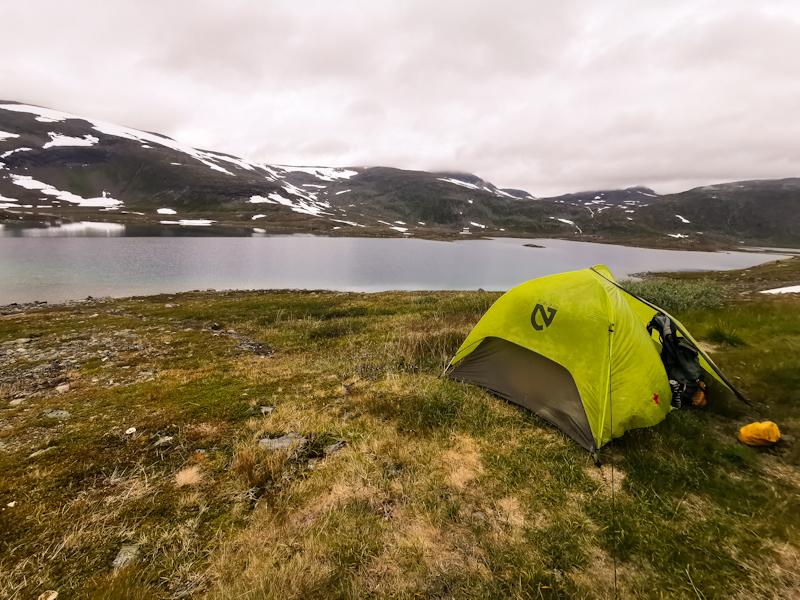
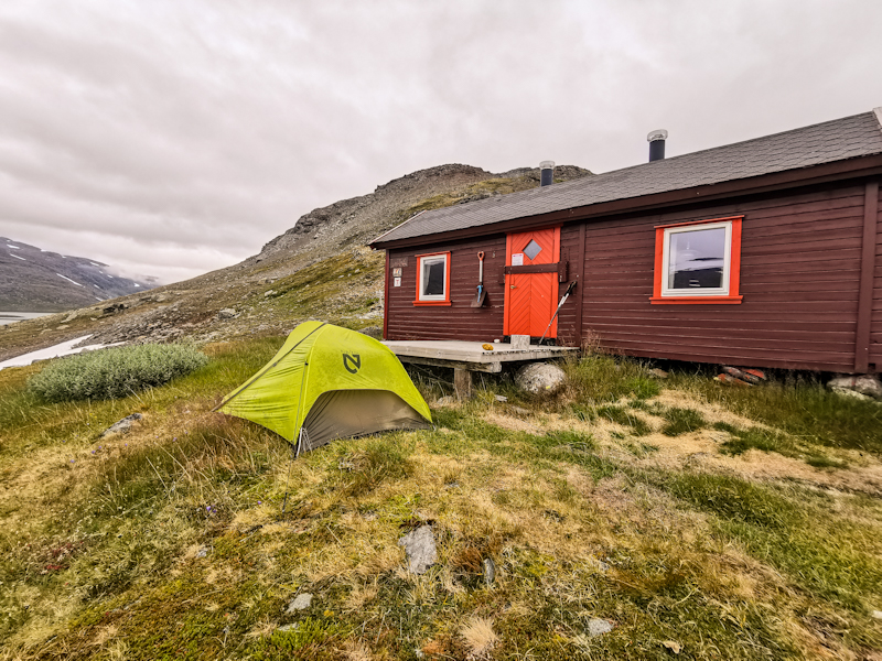
For now, I pitched my tent right in front of the hut. While the hut is unlocked, they ask hikers not to use it. I respect it. I need to dry my tent anyway. Let's just hope it's not a rainy night.
Write a comment