THE TRAIL
Norge på langs (or NPL) – Norway Lengthwise. From the top to the bottom of Norway. Or vice versa. There is no given route. Hike your own hike. Whether you want to cut across Sweden or not, walk inland or closer to the coast – the choice is yours.
When I was hiking the E1 from Nordkapp to Sicily, without knowing back then (I only found out later about NPL), I was already doing roughly two thirds of the length of Norway (the green line on the map on the right), before making my down Sweden towards Denmark.
From Nordkapp to Roros, roundabout 2000 kilometers. The time spent on E1 in Norway was, looking back, the best of my whole 8000 kilometers E1 adventure. The scenery, the remoteness, being at the mercy of the elements, but also the people I met along the way – they all made my time in Norway unforgettable. There’d be so much to write about my time up there, but I don’t want to waffle on at this point. There is plenty of reading material here and here for those interested.
Since I have all these great memories, why not returning to this wonderful place and completing the length of Norway? Picking this low hanging fruit. From Roros to Lindesnes. Another 1000 kilometers to Norway’s southernmost point. Exploring Norway's south-western corner. An area unfamiliar to me.
Since there is no given route, I start plotting a route, using
After a lot of planning and replanning I come up with the route on the right.
Green: completed parts of E1/EPL in 2020
Red: completed parts of E1 in 2020-2023
Yellow: completed parts of NPL in 2024
Route
For the sake of completness, the route description includes the parts already hiked (the green line on the map above).
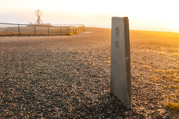
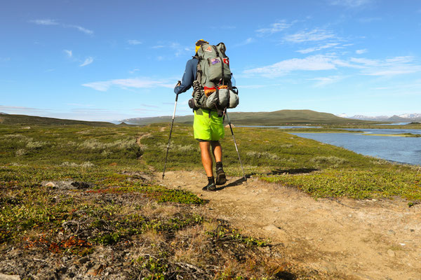
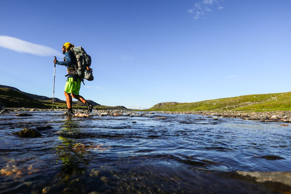
From the Nordkapp, the official starting (or ending) point of NPL, the trail leaves Magerøya via the Nordkapp tunnel. The trail soon enough drifts away from the coastline and follows inland through the sparse Finmark landscape to Kautokeino. These first few days are mostly flat, easy going with some interesting river crossings. Expect tons of mosquitoes during the summer months!
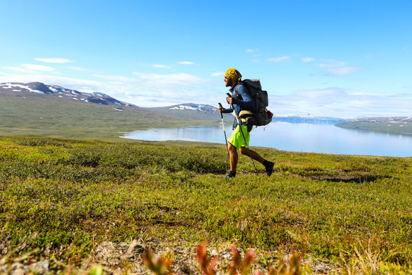
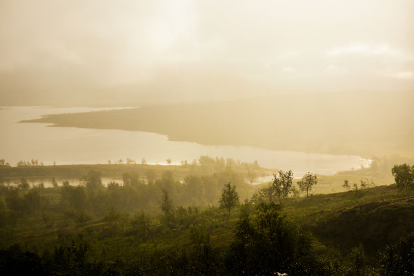
From Kautokeino, my NPL follows the amazing Reisa River towards the Finnish border, where the terrain gets rockier. Passing the Three-Country Point (Sweden, Norway, Finnland), E1 follows the Norwegian-Swedish border for its remaining distance. The stretch between Abisko and Sulitjelma along the Nordkalottleden is especially remote. Expect plenty of snow and adventurous bridges (where there are). The spectacular landscape makes it very rewarding though.
Soon enough, NPL crosses the polar circle and first farms appear along the way. Pine trees mix into the dominating birch forest.
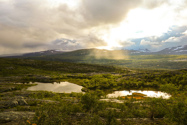
The terrain gets wetter and once in Børgefjell/Byrkjie Nationalpark, expect long days through very boggy terrain. Markings do not exist and navigation is by map and compass or GPS.
NPL continues to be remote and challenging to navigate as there are plenty of stretches without any markings and/or visible tracks. The somewhat official E1 trail notes, good maps and GPS are supporting me to plot a suitable route through the wilderness. Again, steep, technical parts are few and far between. Yet, plenty of river crossings add a bit of spiciness.
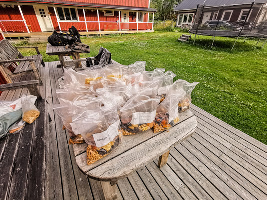
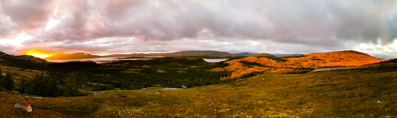
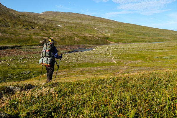
The stretch between Røros and Jotunheimen offers a bit of a break. Mostly easy-going terrain without a lot of rocky parts. Sometimes above, sometimes below the tree line. Rondane National Park, with its lovely mountains, offers a welcome change. The valleys that I cross have plenty of facilities and are the perfect places to resupply. Especially Otta, offers a wide range of shops including two sports stores.
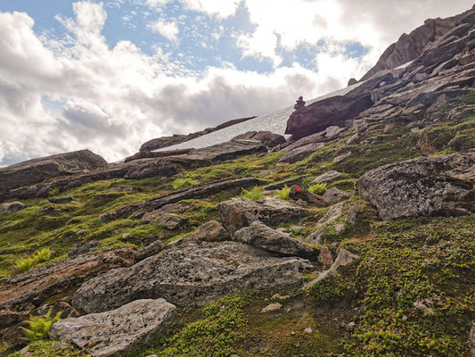
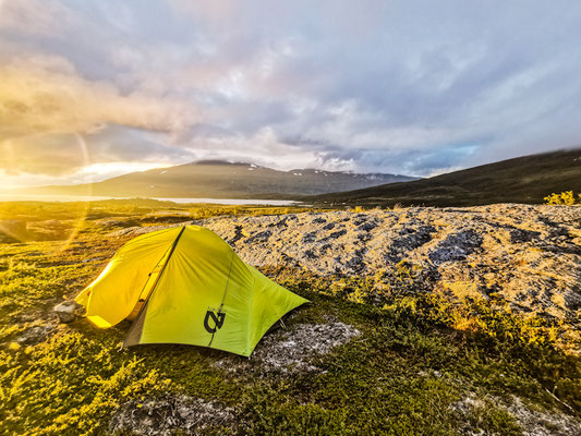
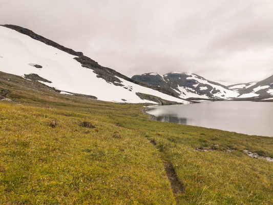
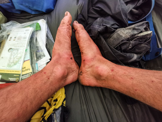
Once I enter Jotunheimen National Park and make my way south towards and through Hardangervidda, mainly following the MASSIV-trail, the landscape is changing. Mountainous and thus much rockier and steeper with plenty of snowfields along the way. While the views are spectacular, the walking pace is slower. This area is also more remote, making resupply a bit trickier. While one could buy food in many of the huts along the way, I opt for a small detour through Øvre Årdal to stock up on food and then six days later again a quick and easy hitch into Roldal and back from Haukeliseter to buy food for another week. This last week in the mountains is tough - for me at least. Even more remote than the stretches before and a constant up and down over rocky, sometimes steep sections. Yet, the fantastic scenery makes up the effort.
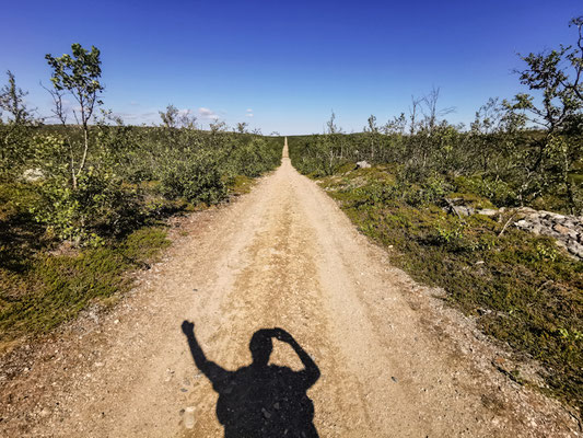
Ljosland, a tiny skiing village, marks the exit point of my hike through the mountains. From here, it's around 150 kilometers of road walk down to Lindesnes, mostly flat, partly along busy roads.
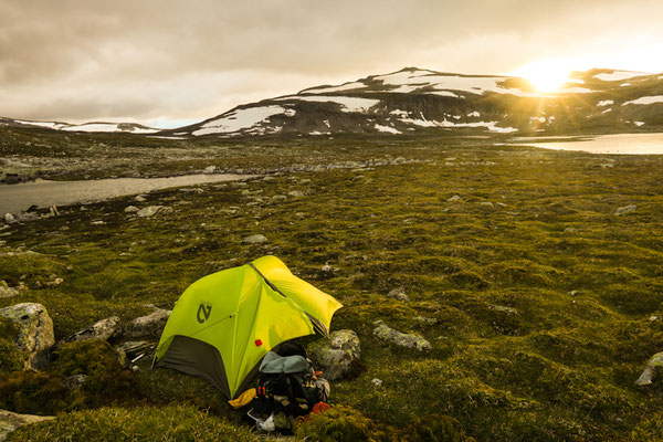
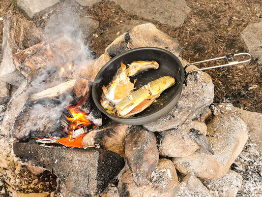
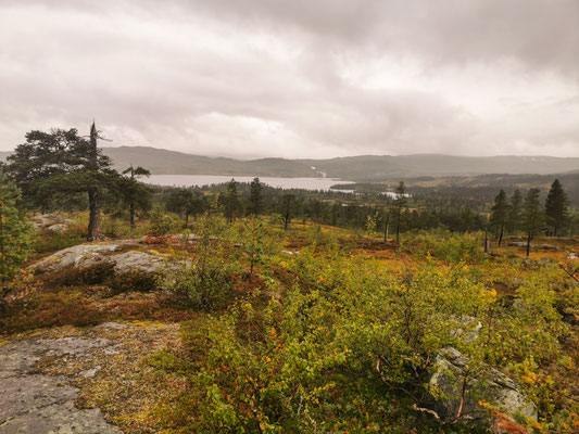
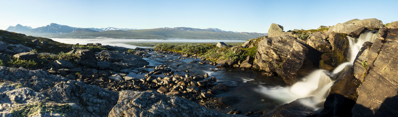
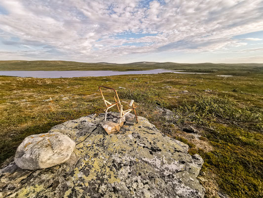
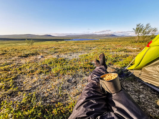
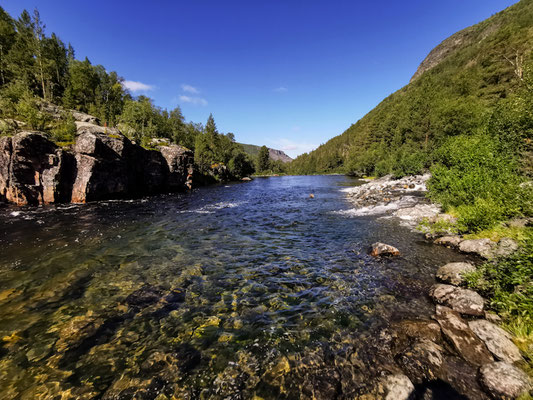
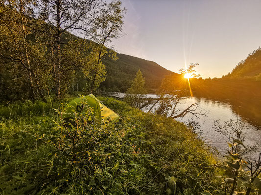
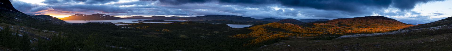
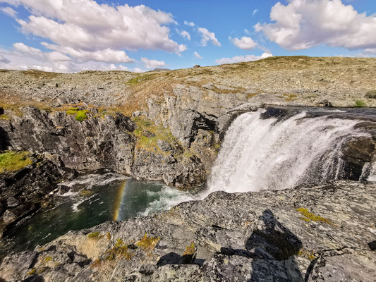
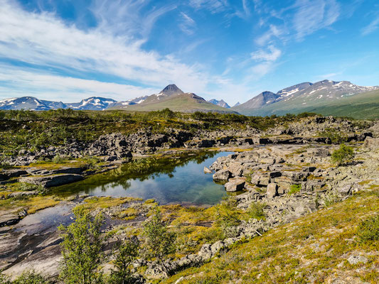
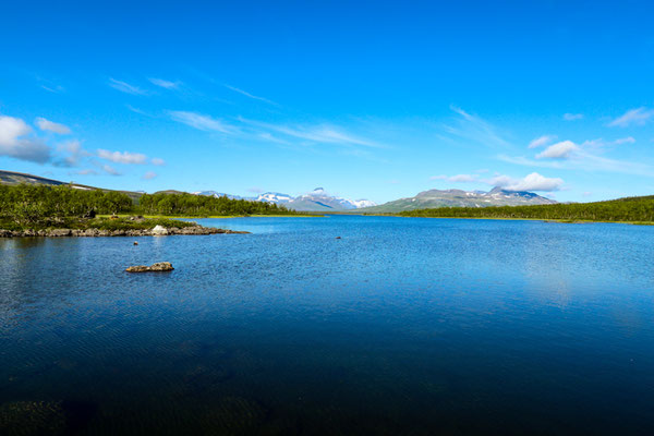
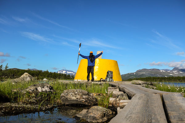
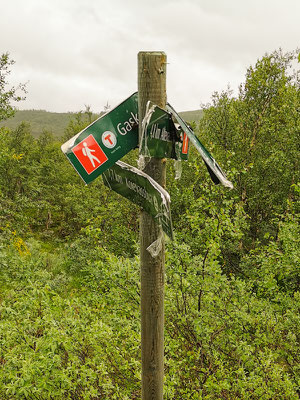
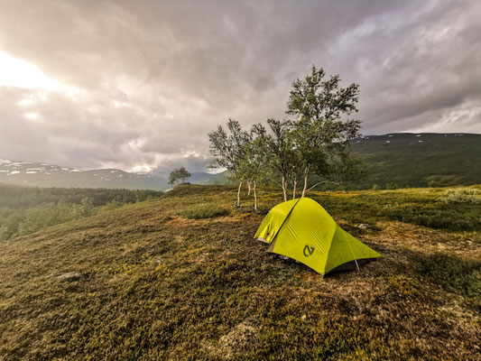
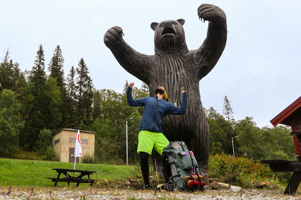
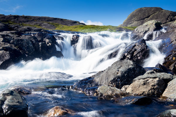
photos